Hakai Institute UAV Imagery: What – Why – How
After four months of UAV testing we have learned a lot. Here is a short write up on what a UAV is, why we use them, and how we use them.
Hakai UAV Imagery – What is it?
The Hakai Institute Geospatial Technology Team has been busy processing this summer’s UAV (unmanned aerial vehicle) imagery to provide spatial information for Hakai researchers. There have been a lot of questions about what we can do with UAV imagery and how we process it.
UAV – what is it and how does it work?
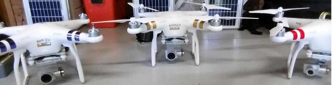
A UAV is a small remote controlled device capable to capturing video and images without the need of satellites or helicopters. The Hakai Institute has two consumer-grade Phantom 3 UAVs and the use of Pix4D image processing software to efficiently capture and produce high quality imagery and 3D models for researchers.
The Phantom 3 UAV has proven to be a flexible tool capable of taking off and landing in challenging conditions and tight spaces. It is equipped with a 4K camera and can fly up to 2 kilometers away from the operator with flight times of 15 to 20 minutes per battery. So far, we have covered 1.5 km x 1.5 km of imagery in one flight with resolutions of 3 cm (flying at 70 meters elevation) to 12 cm (flying at 300 meters elevation).
What can you do with UAV products?
Typically, the UAV is best suited for site-specific projects, but we are able to stitch together multiple flights. At this point our largest area covered was 6 km2 on northwestern Calvert Island. This required 18 flights and 2204 images. There are three main outputs from our flights: 1) Imagery (orthophotos), 2) Elevation models (digital surface models), and 3) 3D point cloud. In good conditions imagery can be useful for marine environments shallower than 5 meters and most flat landscapes. Complex habitats like forests can sometimes require extra effort to produce a usable output. Ideal environments are shorelines, shallow waters, thin forest, and open bogs.

Hakai UAV Imagery – Why?
The products from the UAV imagery have many uses. So far, scientists at the Hakai Institute have been using UAV data to map eelgrass beds and surface kelp extent, as well as to gain insight into substrate types for shallow marine environments on the Central Coast. Hakai institute research groups such as 100 Islands and Changing Seascapes benefit greatly from having accurate spatial information about their research sites and the flexibility to capture it during important ecological events. Other outputs such as 3D models can also be produced to detail unique sites and physical features that most standard maps do not adequately communicate. We are planning missions to map archaeological and coastal features to better understand historical landscapes and land-use practices.
We use the project specifications to decide what resolution of imagery to capture, and what tidal stage we need. We then head to the field and collect GPS tag points that will be used to georeference the imagery back in the lab. We use targets and large natural features evenly through the study area and produce a GPS tag point for them using a powerful GPS device (Topcon GR-5 DGPS). We then fly the site in a grid pattern to ensure that we capture the entire site. Back in the lab, we process the imagery using Pix4D software and produce the imagery, surface model, and 3D point cloud. Final steps include georeferencing the imagery using the tag points collected in the field and exporting the finished products. The final products can be the raw georeferenced imagery for GIS users for further analysis, or synthesized products such as maps, embedded 3D models, and video animations.


